
Remote landslide mapping, field validation and model development – An example from Kravarsko, Croatia
Article Sidebar
Main Article Content
Abstract
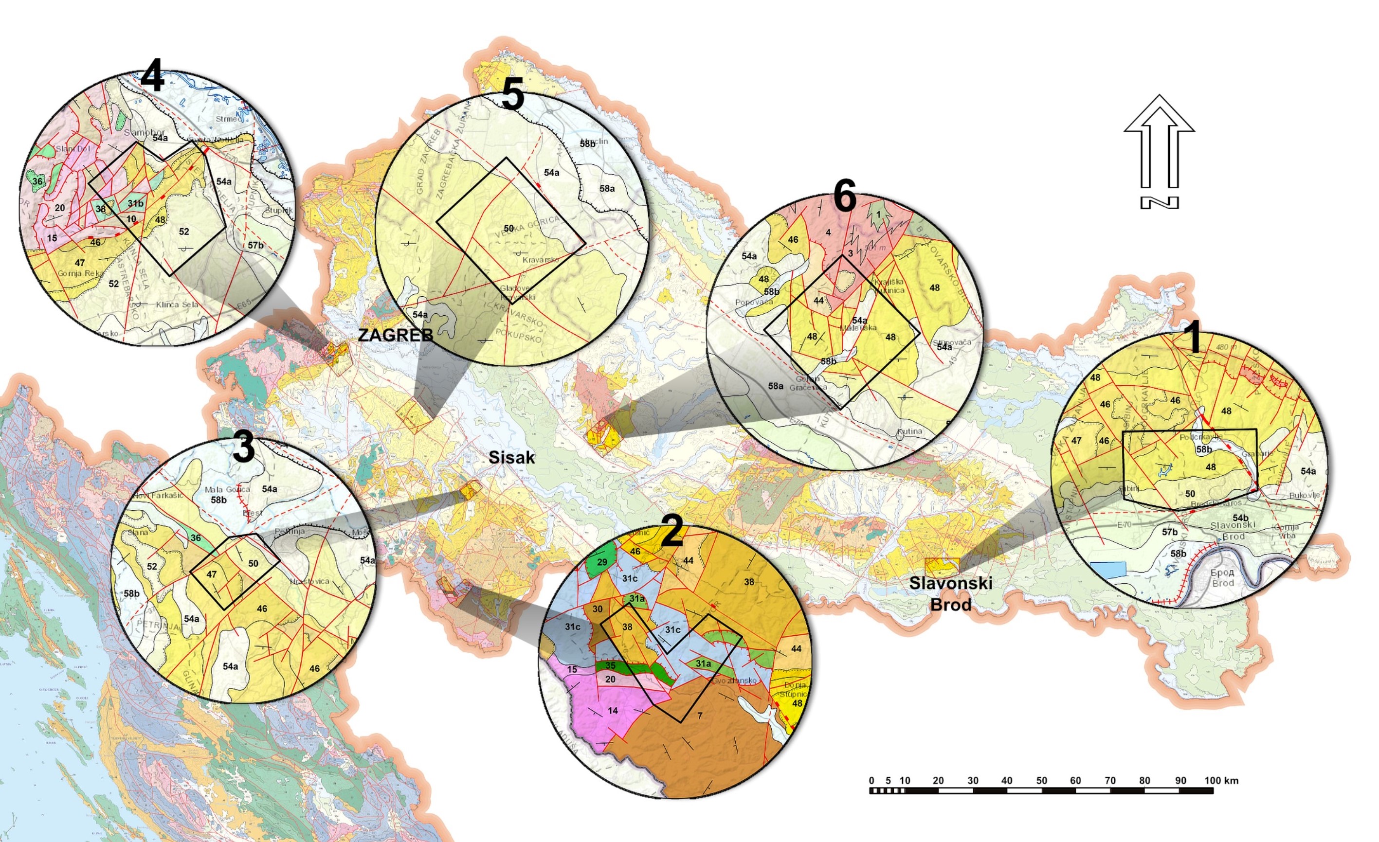
The Kravarsko settlement area, in northern Croatia, has multiple landslides and damage to buildings and infrastructure caused by landslides. However, actual landslide investigation data for the wider Kravarsko area (pilot area PA1) is relatively sparse and no landslide inventory or typical landslide model exists. The aim of this research was to develop such a landslide inventory by integrating new approaches in geohazard research such as remote landslide mapping from high resolution digital elevation models (DEMs) and current and historical aerial images with existing and new geological data related to landslides. The conclusion is that detailed DEMs are more than adequate for the development of reliable landslide inventories but field checks are still necessary to account for the specific set of natural and man-made conditions found in the research area. The landslide inventory developed for Kravarsko has been field validated in a smaller validation area (VA1) and a typical simplified landslide model for PA1/VA1 was developed. Within the model, sliding is interpreted as complex with multiple generations of sliding and multiple sliding surfaces. Based on the analysis undertaken and the available field data, around 10-20% of urban structures are endangered in the Kravarsko area and anthropogenic activity was determined as an important landslide triggering factor for landslide activation or reactivation. Still the question remains of how to quantify the anthropogenic influence? The developed landslide inventory for PA1/VA1 could be used for local urban planning/development and endangerment assessment/evaluation.
Article Details
Issue
Section
Authors have copyright and publishing rights on all published manuscripts.
References
BELL, F., G. (2003): Geological hazards: Their assessments, avoidance and mitigation.– E&FN Spon Press, London, 648 p.
BOBROWSKY, P. & HIGHLAND, L., M. (2008): The landslide handbook – A guide to understanding landslides.– USGS, Reston, Virginia, 60 p.
CORNFORTH, D., H. (2005): Landslides in practice: Investigation, analysis, and remedial/preventative options in soils.– John Wiley & Sons Inc., Hoboken, New Jersey, 596 p.
CVETKOVIĆ, M. (2013): Naftnogeološki potencijal i litostratigrafska raščlamba trećega neogensko-kvartarnoga megaciklusa Savske depresije [Petroleum potential and lithostratigraphic differentiation of the 3rd Neogene Quaternary mega cycle of Sava depression – in Croatian].– Doctoral thesis, Faculty of Mining, Geology and Petroleum Engineering, University of Zagreb, 175 p.
ČUBRILOVIĆ, P., PALAVESTRIĆ, LJ. & NIKOLIĆ, T. (1967): Inženjerskogeološka karta Jugoslavije 1:500,000 [Engineering geological map of Yugoslavia in scale of 1:500,000 – in Croatian].– Geological Department of Serbia, Belgrade.
FELL. R., COROMINAS., J., BONNARD, C., CASCINI, L., LEROI, E. & SAVAGE, W., Z. (2008): Guidelines for landslide susceptibility, hazard and risk zoning for land use planning.– Engineering Geology, 102/3–4, 85-98. doi: 10.1016/j.enggeo.2008.03.022
GEOTWINN (2020): Deliverable 3.2 – Implementation of gained methods and techniques – WP3.– GeoTwinn Project Internal Report BGS, HGI-CGS, GEUS, 72 p, GeoTwinn project archive GUZZETTI, F. (2006): Landslide hazard and risk assessment.– Doctoral thesis, Mathematisch-Naturwissenschaftlichen Fakultät der Rheinischen Friedrich-Wilhelms Universität, Bonn, Germany, 373 p.
GUZZETTI, F., MONDINI, A.C., CARDINALI, M., FIORUCCI, F., SANTANGELO, M. & CHANG, K.T. (2012): Landslide inventory maps: new tools for an old problem.– Earth-Science Reviews, 112, 42–66. doi: 10.1016/j.earscirev.2012.02.001
HALAMIĆ, J., BELAK, M., PAVELIĆ, D., AVANIĆ, R., FILJAK, R., ŠPARICA, M., BRKIĆ, M., KOVAČIĆ, M., VRSALJKO, D., BANAK, A. & CRNKO,J. (2019): Osnovna geološka karta Republike Hrvatske mjerila 1 : 50.000 – Požeška gora [Basic Geological Map of the Republic of Croatia 1:50,000 - Požeška gora – in Croatian].– Croatian Geological Survey, Department of Geology, Zagreb,
https://www.hgi-cgs.hr/osnovna-geoloska-karta-150-000-shema-listova/
HARZHAUSER, M. & MANDIC, O. (2008): Neogene lake systems of Central and SouthEastern Europe: Faunal diversity, gradients and interrelations.– Palaeogeography, Palaeoclimatology and Palaeoecology 260/3-4, 417–434. doi: 10.1016/j.palaeo.2007.12.013
HRVATSKI GEOLOŠKI INSTITUT (2009): Geološka karta Republike Hrvatske M 1:300.000 [Geological Map of the Republic of Croatia 1:300,000 – in Croatian].– Croatian Geological Survey, Department of Geology, Zagreb, https://www.hgi-cgs.hr/geoloska-karta-republike-hrvatske-1300-000/
HUNGR, O., LEROUEIL, S. & PICARELLI, L. (2014): The Varnes classification of landslide types, an update.– Landslides 11, 167–194. doi: 10.1007/s10346-013-0436-y
JAGODNIK, P., JAGODNIK, V., ARBANAS Ž. & MIHALIĆ ARBANAS, S. (2020): Landslide types in the Slani Potok gully, Croatia 2020.– Geologia Croatica, 73/1, 13–28. doi: 10.4154/gc.2020.04
JURAK, V., MATKOVIĆ I., MIKLIN Ž, & MIHALIĆ, S. (1996): Data analysis of the landslides in the Republic of Croatia: Present state and perspectives.– In: 7th international symposium on landslides, Trondheim, 17–21 June 1996, Balkema, 1923–1929.
JURAK, V., ORTOLAN, Ž., IVŠIĆ, T., HERAK, M., ŠUMANOVAC, F., VUKELIĆ, I., JUKIĆ, M. & ŠURINA, Z. (2008): Geotehničko i seizmičko mikrozoniranje grada Zagreba – pokušaji i ostvarenje [Geotechnical and seismic microzonation of Zagreb - attempts and realisation – In Croatian].– In: Zbornik radova s konferencije razvitak Zagreba, Zagreb, 99-108.
KORBAR, T., AVANIĆ, R., BAKRAČ, K., BELAK, M., BERGANT, S., BRČIĆ, V., BRLEK, M., FUČEK, L., GRGASOVIĆ, T., GRIZELJ, A., HALAMIĆ, J., HEĆIMOVIĆ, I., HORVAT, M., JAMIČIĆ, D., KOCH, G., MATIČEC, D., OŠTRIĆ, N., PALENIK, D., SLOVENEC, D. & ŠORŠA, A. (2012): Upute za izradu Osnovne geološke karte RH M 1:50.000 [Guidelines for development of Basic geological map of Croatia in scale of 1:50,000 - In Croatian].– Croatian Geological Survey, Zagreb, 132 p.
KUREČIĆ, T. (2017): Sedimentologija i paleoekologija Pliocenskih Viviparus slojeva Vukomeričkih Gorica [Sedimentology and paleoecology of Pliocene Viviparus beds from the area of Vukomeričke Gorice – in Croatian].– Doctoral thesis, Faculty of Science Department of Geology, University of Zagreb, 168 p.
LOPARIĆ, I. & PAHERNIK, M. (2011): GIS analysis of landslide susceptible areas and slope failure in the town of Lepoglava.– Acta Geographica Croatica, 38/1, 35-58.
MANDIC, O., KUREČIĆ, T., NEUBAUER, T.A. & HARZHAUSER, M. (2015): Stratigraphic and paleogeographic significance of lacustrine mollusks from the Pliocene Viviparus beds in central Croatia.– Geologia Croatica 68/3, 179-207. doi: 10.4154/gc.2015.15
MCCALPIN, J. (1984): Preliminary age classification of landslides for inventory mapping.– In: Proceedings of the 21st Annual Symposium on Engineering Geology and Soil Engineering, 99–111.
MIHALIĆ ARBANAS, S., KRKAČ, M. & BERNAT, S. (2016): Application of advanced technologies in landslide research in the area of the City of Zagreb (Croatia, Europe).– Geologia Croatica 69/2, 231–243, doi: 10.4154/gc.2016.18
MIKLIN, Ž., MLINAR, Ž., BRKIĆ, Ž. & HEĆIMOVIĆ, I. (2007): Detaljna inženjerskogeološka karta Podsljemenske urbanizirane zone mjerila 1:5000 (DIGKFaza I) [Detailed engineering geological map of Podsljeme urban area in scale of 1:5000 (Phase I) – In Croatian].– Croatian Geological Survey, Zagreb, Books 1-4, 44 maps, HGI-CGS archive.
MIKLIN, Ž., PODOLSZKI, L., NOVOSEL, T., SOKOLIĆ, Ž., OFAK, J., PADOVAN, B. & ZAILAC, K. (2018): Detaljna inženjerskogeološka karta Podsljemenske urbanizirane zone mjerila 1:5000 (DIGK-Faza II) [Detailed engineering geological map of Podsljeme urban area in scale of 1:5000 (Phase II) – In Croatian].– Croatian Geological Survey, Zagreb, Books 1-6, 41 maps, HGI-CGS archive.
MIYAGI, T., PRASAD, B. G., TANAVUD, C., POTICHAN, A. & HAMASAKI E. (2004): Landslide Risk Evaluation and Mapping – Manual of Aerial Photo Interpretation for Landslide Topography and Risk Management.– Report of the National Research Institute for Earth Science and Disaster Prevention, Japan.
NEUMAYR, M. & PAUL, C.M. (1875): Congerien und Paludienschichten Slavoniens und deren Faunen. Ein Beitrag zur Descendenz-Theorie.– Abh. k. k. Geol. R.-A., 7, 1–106.
PAINE, D. P. & KISER, J. D. (2012): Aerial photography and image interpretation.– Third edition, John Wiley & Sons Inc., Hoboken, New Jersey, 629 p. doi: 10.1002/9781118110997
PIKIJA, M. (1987a): Osnovna geološka karta SFRJ 1:100.000 – list Sisak L33-93 [Basic geological map SFRY in scale of 1:100,000 - sheet Sisak L33-93 - In Croatian].– Geological Department of Serbia, Belgrade.
PIKIJA, M. (1987b): Osnovna geološka karta SFRJ 1:100.000 – Tumač za list Sisak L33-93 [Guide for Basic geological map SFRY in scale of 1:100,000 - sheet Sisak L33-93 - In Croatian].– Geological Department of Serbia, Belgrade, 51 p.
PODOLSZKI, L. (2014): Stereoskopska analiza klizišta i relativne opasnosti od klizanja na južnim obroncima Medvednice [Stereoscopic analysis of landslides and landslide susceptibility on the southern slopes of the Medvednica Mt. – in Croatian].– Doctoral thesis, Faculty of Mining, Geology and Petroleum Engineering, University of Zagreb, 322 p.
PODOLSZKI, L., POLLAK, D., GULAM, V. & MIKLIN Ž. (2015): Development of Landslide Susceptibility Map of Croatia.– In: LOLLINO, G., GIORDAN, D., CROSTA, G.B., COROMINAS, J., AZZAM R., WASOWSKI, J. & SCIARRA, N.
(eds.): Engineering Geology for Society and Territory - Volume 2: Landslide Processes, Springer, 947-950. doi: 10.1007/978-3-319-09057-3_164
RÖGL, F. & STEININGER, F.F. (1984): Neogene Paratethys, Mediterranean and Indopacific seaways.– In: BRENCHLEY, P. (ed.): Fossils and Climate, John Wiley & Sons, New York, 171-200.
SAFTIĆ, B., VELIĆ, J., SZTANO, O., JUHASZ, G. & IVKOVIĆ, Ž. (2003): Tertiary Subsurface Facies, Source Rocks and Hydrocarbon Reservoirs in the SW Part of the Pannonian Basin (Northern Croatia and South-Western Hungary).– Geologia Croatica, 56/1, 101-122.
SLAUGHTER, S. L., BURNS, W. J., MICKELSON, K. A., JACOBACCI, K. E., BIEL, A. & CONTRERAS T. A. (2017): Protocol for landslide inventory mapping from LIDAR data in Washington state.– Washington Geological Survey, USGS, 26 p.
ŠEBEČIĆ, B. (2010): O povijesti istraživanja i eksploatacije Vukomeričkih lignita [Abouth research and exploitation history of Vukomerička lignite – in Croatian].– Rudarsko-geološko-naftni zbornik, 22, 81–90.
ŠIKIĆ, K., BASCH, O. & ŠIMUNIĆ, A. (1978): Osnovna geološka karta SFRJ 1:100.000 - list Zagreb L33-80 [Basic geological map SFRY in scale of 1:100,000 - sheet Zagreb L33-80 - In Croatian].– Geological Department of Serbia, Belgrade.
ŠIKIĆ, K., BASCH, O. & ŠIMUNIĆ, A. (1979): Osnovna geološka karta SFRJ 1:100.000 – Tumač za list Zagreb L33-80 [Guide for Basic geological map SFRY in scale of 1:100,000 - sheet Zagreb L33-80 - In Croatian].– Geological Department of Serbia, Belgrade, 75 p.
ŠIMUNIĆ, A. (1964): Geološko kartiranje sjeveroistočnog dijela Vukomeričkih gorica [Geological mapping of north eastern part of Vukomerička hills – in Croatian].– Croatian Geological Survey, Zagreb, HGI-CGS archive.
ŠIMUNIĆ, A. & AVANIĆ, R. (1985): Korelacija geoloških odnosa na području Medvednice, SZ dijela Savske potoline i S dijela Vukomeričkih gorica [Geological correlation on Medvednica, NW Sava plain and N part of Vukomerička hills area – in Croatian].– Croatian Geological Survey, Zagreb, HGI-CGS archive.
VAN WESTEN, C., CASTELLANOS, E. & KURIAKOSE, S., L. (2008): Spatial data for landslide susceptibility, hazard, and vulnerability assessment: An overview.– Engineering Geology, 102/3–4, 112-131. doi: 10.1016/j.enggeo.2008.03.010
VARNES, D. J. (1978): Slope movements, type and processes.– In: SCHUSTER, R.L. & KRIZEK R.J. (eds.): Landslide Analysis and Control, Transportation Research Board, Special Report 176. National Academy of Sciences, Washington, 11–33.
VARNES, D. J. (1984): Landslide hazard zonation: a review of principles and practice.– International Association of Engineering Geology, UNESCO Natural Hazard series, Paris, No.3, 63 p.
ZANINOVIĆ, K., GAJIĆ-ČAPKA, M., PERČEC TADIĆ, M., VUČETIĆ, M., MILKOVIĆ, J., BAJIĆ, A., CINDRIĆ, K., CVITAN, L., KATUŠIN, Z. & KAUČIĆ, D. (2008): Klimatski atlas Hrvatske: 1961. - 1990. : 1971. - 2000. [Climate atlas of Croatia: 1961. - 1990. : 1971. - 2000. - In Croatian]. Zagreb, Državni hidrometeorološki zavod, 200 p.